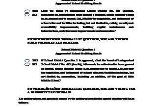
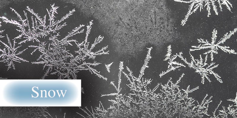
Second round of snow prompts winter storm watch
Published 4:30 pm Wednesday, January 10, 2024
A second round of possibly heavy snow is making its way to the area and has prompted a weather alert starting Thursday night.
The National Weather Service has placed the area into a winter storm watch starting at midnight on Thursday and going through to 9 a.m. on Saturday.

Graphic courtesy of the National Weather Service
The area could see between 6 to 10 inches of snow from this latest round, beginning after midnight Thursday and into early Friday morning. Between 1 and 3 inches of snow is possible followed by another 2 to 4 inches possible during the day Friday.
On top of this, winds are expected to gust as high as 30 to 40 mph, which could result in whiteout conditions at times.

Graphic courtesy of the National Weather Service
Dropping temperatures are also expected as part of this system. Thursday night, a low of 11 is predicted with wind chill values dipping as low as zero. Temperatures will continue to drop through the weekend with continued blustery conditions leading to a low of -12 Saturday night and a high of only -3 on Sunday.
Source link